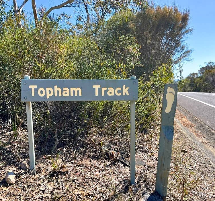
Topham Walking Track, Cottage Point NSW
The Topham walking track is one of those hidden gems in Ku-ring-gai Chase National Park that often gets overlooked in favor of the more famous West Head lookouts. If you’re looking for a peaceful escape with a bit of a “secret discovery” feel, this is the one.
Here is everything you need to know to check it out.
The Track Overview
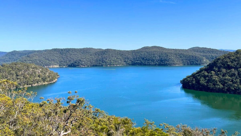
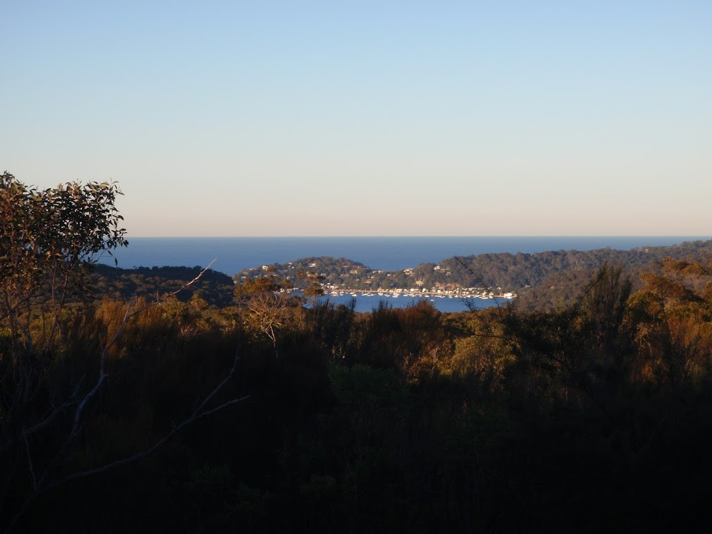
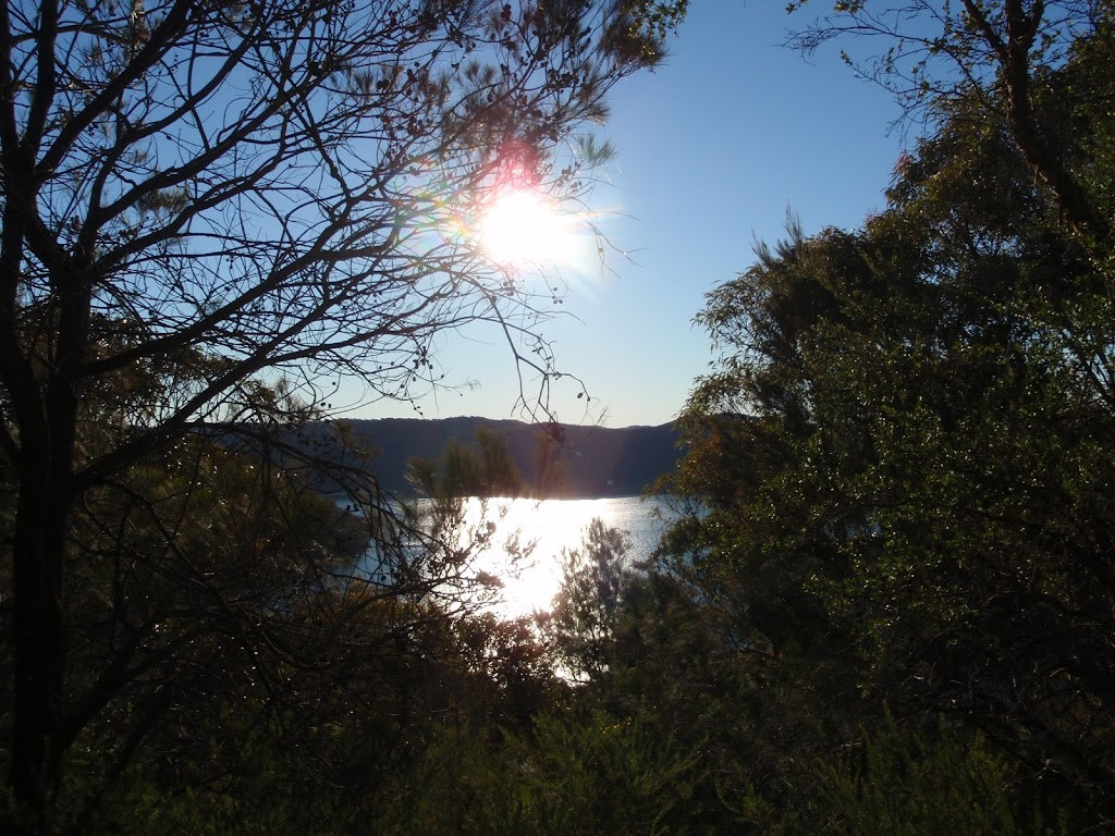
The Topham track is essentially a journey through classic Australian bushland that rewards you with an incredible panoramic view of Cowan Water and Refuge Bay.
- Distance: 3.7km return
- Time: 1 to 1.5 hours
- Difficulty: Grade 4 (Moderate to Hard). While most of it is on a flat fire trail, the final section to the lookouts involves some light rock scrambling and “bush bashing” (unmarked paths), which is why it’s graded higher.
- Best Time to Visit: Spring (late August to October) is spectacular because the heathland erupts with wildflowers like Boronias, Flannel Flowers, and Waratahs.
What to Expect
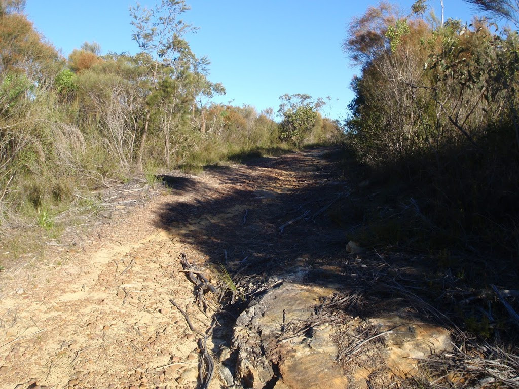
1. The Woodland Walk
The first 1.5km is a gentle walk along a management fire trail. You’ll be surrounded by open woodland and tall Scribbly Gums (look for the “scribbles” left by moth larvae on the bark). It’s quiet, serene, and great for birdwatching—listen for the distinct “crack” of the Eastern Whipbird.
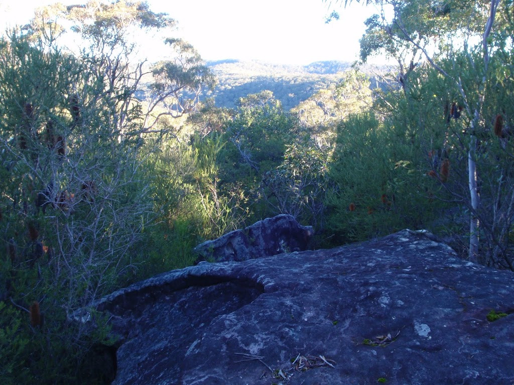
2. The Hidden Cave & Lookouts
As the fire trail ends, the adventure starts. The path splits:
- The Main Lookout (Right): A short scramble leads you to a massive sandstone outcrop. From here, you get a stunning “birds-eye” view of America Bay and the yachts bobbing in the water below.
- The Hidden Cave (Left): Follow the faint trail to the left to find a large, deep sandstone overhang. It’s a perfect spot to sit in the shade, feel the breeze, and look out over Refuge Bay.
3. The “Solitude” Factor
Unlike the nearby America Bay track, Topham is rarely crowded. On a weekday, there is a very high chance you will have the entire escarpment to yourself for a bush picnic.
Essential Details
How to Get There
The trailhead is located on West Head Road, about 5–10 minutes past the intersection with McCarrs Creek Road.
- Parking: There is a small dirt pull-off area at the track head (look for the NPWS sign on your left). If it’s full, you can park 100m further at the Bairne Track trailhead.
- Fees: There is a $12 AUD vehicle entry fee for Ku-ring-gai Chase National Park (payable at the entry station or via the Park’nPay app).
Quick Tips
- Footwear: Wear shoes with good grip; the sandstone near the lookouts can be slippery if there’s been recent rain.
- Water: There are no facilities or water taps on this track. Bring at least 1L per person.
- Download Maps: Reception can be spotty. Download an offline map or take a screenshot of the NPWS map before you head in.
Useful Links
- Official NPWS Page: Topham Walking Track – NSW National Parks
- Detailed Track Notes: Wildwalks – Topham Track
- Trail Guide & Photos: Sydney Uncovered – Topham Track Guide
The only question remains: Are you planning to do a solo hike, or are you bringing a group along?